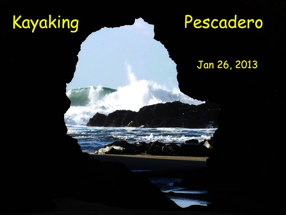
Going to Death Valley for running didn't pan out for this weekend - the SCTC was all injured or paired up with the injured - the plug was pulled! Left to my own devices, I thought of Pescadero Marsh State Reserve, which I'd taken a look at two weeks ago. An easy kayak, and a short ride was my choice. Driving up the coast, it looked from Google Earth like the put-in would be parking on the south side of the bridge at the parking lot, and an easy walk to the creek lagoon. Getting there, it was a non-starter. It was a steep rocky cliff. So I drove up to the north parking lot, for Pescadero State Beach, but that turned out to be a full 1/2 mile further, all of which I'd have to solo drag my 70 lb kayak through soft sand to the put-in. No go. So driving back south to the bridge parking lot and pondered - and came up with the solution; I'd drive across to the north side of the bridge, pull off the road (at the "No Parking" signs), pull off my kayak (and if a cop came by, tell him I was re-adjusting the tiedowns). Then drive back across the bridge to the parking lot, jog back with my other gear, and then it's an easy portage down under the bridge to a put-in on the sand.
Puttin' in |
Fly fishing for steelhead |
The first part of the paddle is a wide lagoon |
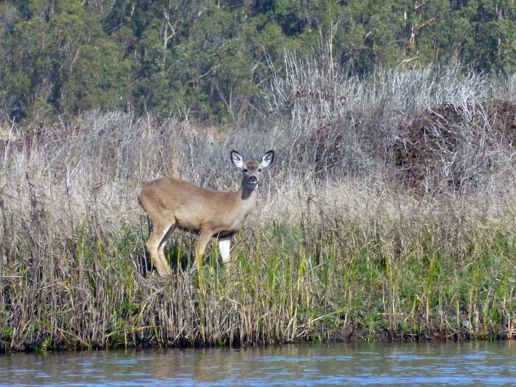
is that weird looking blob of color out there in the water a threat or not? |
 |
The marshland has 3 navigable channels. I took the left here, which is the actual creek. It's narrowing, and the trees closing in. |
Undeniable math: Rick + Kale on 3-seed sourdough = happy |
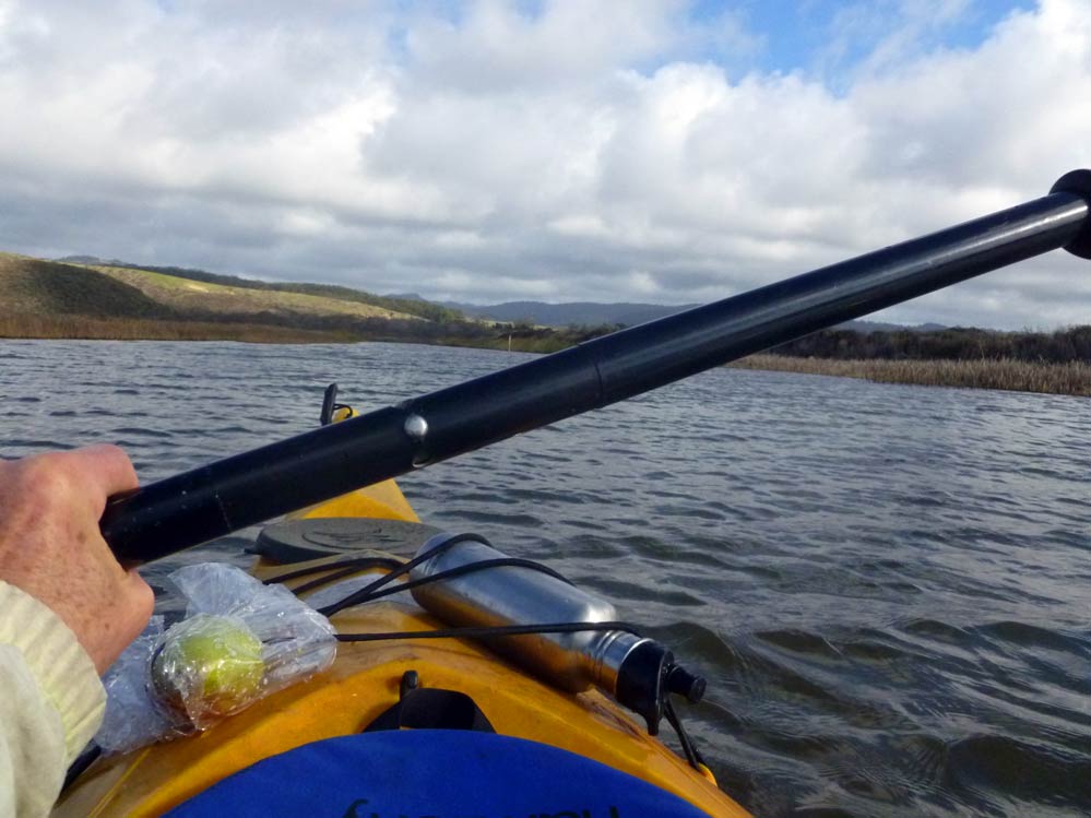
a little product placement.... thanks for the fine Xmas present, Dave! Here, filled with my unique protein power concoction. The tangle of tree limbs up ahead is the end of the line. Plenty of deep water left, but too many trees in the water. Total paddle distance at this point, maybe a mile or a little more. |
A sandbar of pebbles affords a little stretching |
backing out of the creek channel, and now heading up the wider, open channel to the south |
|
This channel is dominated by reeds, no trees. Good for birds, and the odd turtle or two. |
an old depth gauge |
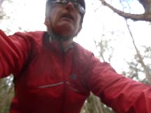
by looping my little Lumix through the bungi's on the front of the kayak and setting it on 10s delay, I could grab a few action shots (if action is the right word on this mellow paddle) |
Cat tails and chirping frogs at this point. About 200 yds up, the channel gets so narrow you can't turn around, and cat tails are in your face. I backed out for 10 yards and did a ~30 pt U-turn. |
Getting back was a little harder against a stiff breeze. In all, it was about 3 hours on the water, and about 4 miles of paddling in a leisurely day |
As I hoisted my kayak back up to the road, this couple enjoyed the view from above the window rock |
There was still 70 minutes of daylight left after I packed up the kayak and drove into town; time enough for adventure #2 - a bike ride up Stage Rd to San Gregorio: 17 miles, 1500 ft of climbing, with a couple of detours along the way. |
 |
This town is a favorite stopover for Bay Area cyclists, and little of it that there is, it's been here since the mid 1800's. |
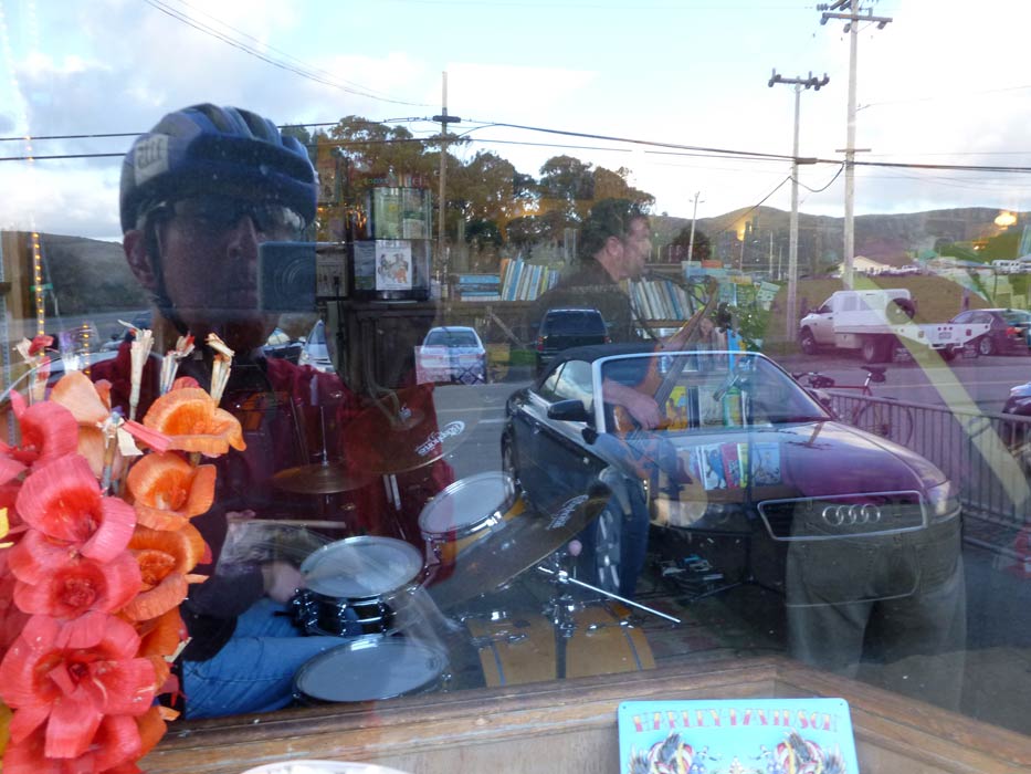
Live band inside |
A mile south of San Gregorio, looking to the setting sun |
|
 |
 |
Back on the road, I stopped at Bean Hollow for a last shot of the sunset glow in reflection, the tidepools, and my 'yak. A great day... |