Sept 28, 2013
I taught my Astro 27 field astronomy class this weekend - a warm early Fall weekend which had clear skies for astronomy. During the day on Saturday, I had some free time as the Geology 27 field class toured the high peaks. I love trail running, and find myself feeling most at peace with the world, and with myself, as I run solo through the natural world. On this day, I ran ahead of the field class students, and was feeling pretty good physically.
|
At 9am, I ascended the Condor Gulch trail from the Visitor's Center, traversed the High Peaks trail, and descended towards Moses Spring. Taking the side trail to the reservoir, it was still it was still morning and I felt like I needed a longer run than the 9 miles I'd planned. I had never gone farther than a mile up the Chalone Peak trail and figured it was probably about 2 miles to the top, and maybe 800 ft of more climbing to what I thought was 2400ft elevation at the peak. Sounded perfect, and so off I went. I didn't see a sign for how far the peak actually was...
The map at left shows in light red the first 1/3 of my run. The next half was to/from Chalone Peak, south of the map. The last 3 miles was from the Bear Gulch caves back to the campground.
Dave did his first geology lectures while I started my run up the Condor Gulch trail. I'd filled my 3 liter Camelbak, and had my fill of local water at the Visitor Center. Should be enough. |
On the High Peaks trail, overlook to the Balcony caves on the north side. |
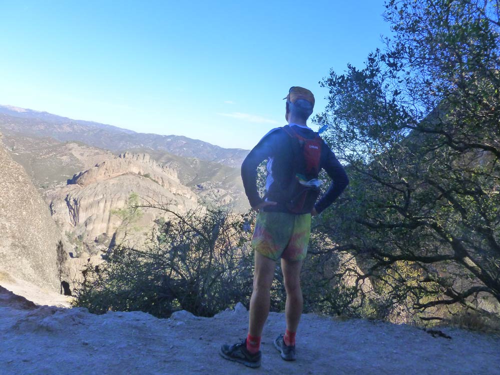
I arrive at the Bear Gulch reservoir, feeling still pretty good after 5 miles. Too soon, I think, to continue on to the campground. Down below, as I ponder where to continue - |
...I see my first red-legged frog, re-introduced to Pinnacles and apparently doing well! I've never been to Chalone Peak, just a half mile or so up the trail. I thought it might be two miles up to the peak, and I vaguely thought I'd remembered the peak as 2400 ft elevation, or less than 1,000 ft above the reservoir. That would turn my planned 9 mile run into a 13 mile run, which felt right. So, it was settled, and off I went. |
There is some beautiful manzanita trees on the trail up North Chalone Peak |
Turns out Chalone Peak was 900 ft higher, and 2.5 miles further than my guess. I vowed I'd turn around as soon as my Camelbak ran out, but it did indeed carry me to the top. Here, vineyards in the upper slopes above Soledad, on the west side. |
A couple of fences must be negotiated to get to the top, strangely. |
This old fire lookout on Chalone Peak made me nostalgic for the pre-satellite days. I remembered an impromptu visit to the fire lookout at Chews Ridge back when I was a grad student at Stanford in 1978, and a warm chat with the lonely lookout keeper for an evening. This one had fresh paint, but was empty of people. |
Chalone Peak, looking east. A gorgeously clear day. I had lunch; an apple, and a kale sandwich, and after a 20 minute stopover, resumed my run. My camera got some sand in the lens and stopped working for the remainder of the run. |
I continued back down the trail, to the reservoir, on the trail above the Bear Gulch caves, to the visitor's center, and had a well-anticipated soaking in the first faucet I found in the picnic spots above the visitor center. Then down through the canyon trail, which is very beautiful with fall colors and calm pools under huge sycamore trees and oaks this time of year. Then arriving at the bottom at Chalone Creek, the sun really began to beat down, and I arrived at the end of my Camelbak's water. So, the last mile was a grind. 18 miles total - amazing I could do it without a total breakdown. The breaks at the reservoir and on Chalone Peak, and the occassional picture, must have made the difference. Back at our camp, I soaked myself under the faucet, had handfuls of salty corn chips, and retired to my tent for some reading before the rest of the class came back from their hike.