Astro 25: Field Astronomy in the California Mountains - Spring '20
Post-Trip Pictures, video, and Narrative
The CoVid-19 virus pandemic forced this class from being a field class to being a strictly on-line class. You'll notice that this set of pictures is missing one thing....students! However, I got approval to still go to Carrizo Plain - our planned camping trip destination - in order to still get video recordings of the science project around which the course was designed - the occultation of an 11th magnitude star by the asteroid Nealley on Saturday night Apr 18. With the plan to share these to students afterwards. As a rare bonus, there was the occultation of another 11th magnitude star by the asteroid Heinemann on Sunday morning, along a very similar path. The Nealley event was decent rank, and promised a 70% odds of getting a hit. But the Heinemann path was much less confidently known, and even on the centerline, had only a 20% odds of success. Still, the value for the course was in the experience of doing science, learning how the planets and asteroids work, and the process of scientific problem solving (or in this case, scientific stumbling under the influence of stress, sleeplessness, and car trouble!).
I gave our first "field trip" lecture (i.e. the April 17 Friday evening time when we should have been at Carrizo), on Friday on-line from home. We lectured on the discovery and characterization of planets around other stars, which went well, and was recorded in Canvas.
Below I wanted to share some of the field trip adventure to Carrizo Plain that, alas, you - my students - missed. This is also in hopes that you can sign up again later for a field class that's for-real!
The first adventure on the trip was - my car failed to start after getting gas in Paso Robles. The battery voltage was 11.65 Volts; not enough to turn the engine. I'd been watching the battery light come on for the whole trip by this time, so made sure I did not stop until I was in Paso Robles, where I could get help if needed. I decided the battery was the problem; it was 6 years old, and a good Samaritan drove me to O'Reilly's Auto Parts for a $200 (!) investment in a new battery . That got me back on the road for now. Alas, here 2 weeks later, I'm thinking the real problem is my alternator drooping. (later.... Yes - bad diodes in my alternator. I got to learn how to replace an alternator, and save $350 off giving it to the repair people! And I'm a better person for it!).
Please click on the YouTube video's posted and linked above to get a condensed view of an Astro 25 trip and video of the astronomy going into recording the asteroid occultation at the heart of our course goals. You can find other videos of asteroid occultations on YouTube as well, such as I showed at our pre-trip meeting. YouTube makes it easy to find more. I'll post more of my own as time goes on...
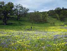
Lower Shell Creek Road has the most beautiful acres of wildflowers around. Carrizo's "super-blooms" are much wider in extent, but this year, the only great flower fields were on Shell Creek Rd near where it "T"'s into Hwy 58.
|
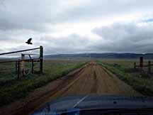
Rains were strong, and recent. Here I'm entering the dirt road that takes you up to the ridge of the Caliente Mountains.Dark clouds and a crow guarding the entrance... foreboding.
|
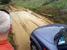
2 miles up the road, you start to gain a bit of elevation at the gate entrance to the ridge road at the old Selby Ranch. And not 50 yards beyond, a humongo mud puddle that was impassable in my 2WD RAV4. That was my decision after a long look.
Also, I'd noted on the drive in, that 7 Mile Drive was too muddy to navigate to Elkhorn Rd and Wallace Creek. So a video-taping there was now out of the question. Lucky I found those YouTube visits to Wallace Creek for you on our resource page.
|
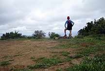
My Plan A was to arrive at 10:30am, and drive to the ridge trail, and do a 17 mile out/back trail run to 5,200 ft Caliente Peak. Alas, the car trouble and now the mud puddle put the kabosh on that. Plan B was to go ahead and trail run to the top of the mountain ridge and then get as far along it as I dared, and still get back in time for Occultation planning
Here, above, I'm posing at what would have been our Astro 25 campsite, at a wide spot on the road towards the ridge.
|
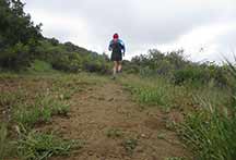
Farther up, a trail off in a new direction beckoned. I decided to do a bit of running along that trail before getting back on the main dirt road to the ridge.
|
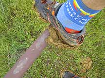
Trail running was a real chore. The soil here is very fine grained mud, and sticky. I continually carried a pound of mud per shoe, which eventually gave me a sore psoas.
|
|
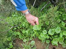
On-the-trail vegetables! Miner's Lettuce is delicious. I ate a lot.
|
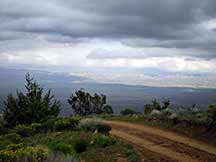
On the Ridge trail, which mostly is an old 2-lane dirt road which goes to a microwave tower, and then degenerates to a single-track later on, as it heads to Caliente Peak. 8.5 miles each way to the peak, from the trailhead. Long ago, it was drivable in jeeps the whole way, as the U.S. Army put a lookout tower on top of Caliente Peak to watch for Japanese bombers out to bomb our oil fields near Taft.
|
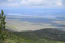
Soda Lake far below now, not far from where I started. It's a real lake this mid April! That's not typical. Usually it's soda white evaporite
|
|
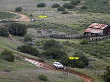
Jogging back down the steep road from the ridge towards my car (top of the picture at left) I saw a white SUV full of college girls who figured they'd just punch the gas and get through the mud. They were wrong.
|
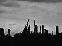
Selby Ranch, a "ghost ranch" from the days when dry farmers tried to eke out an existence, has some evocative photo opportunities |
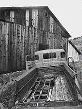
An ancient dust-bowl era Ford truck, behind the ranch.
|
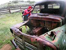
One old mid-20th century fossil, examines the inside of another 20th century relic.
|
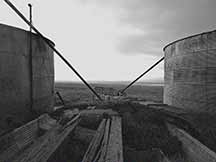
Ancient granaries. They used to pump seed up through those pipes into the granaries, then they dug underneath so that trucks could get under and receive grain to carry to market.
|
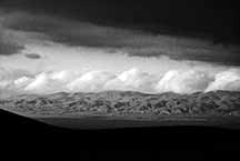
The Temblor Range, on the far side of the San Andreas Fault, in late afternoon light.
|
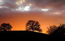
Weather prospects looked better farther west along the path, so I made a decision to not try it from Carrizo, but instead to go to a place in Los Padres National Forest off Hwy 58, as skies were clearing (finally!) from the west. This is an oak-studded hill with the setting sun behind it, on Hwy 58 west of Carrizo Plain
|
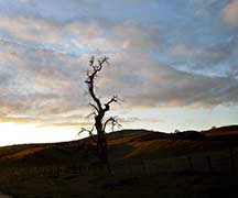
More stark photo opportunities...
|
|
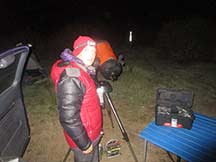
Set up now for the Nealley Occultation at a campsite 3 miles off Hwy 58. I have video footage of the setup and procedures, available soon. This was at 9:50pm. After the event, I got some sleep, and tried for a rare 2nd opportunity of an asteroid occultation at 3am, by the asteroid Heinemann.
|
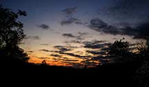
Dawn from my campsite. Beautiful, but you students may have found it bracing. It was very wet and very cold, with ice covering my RAV4 windshield. I elected to skip breakfast and just throw all the wet stuff into the back of the RAV4 and get on the road so I could fire up my car's heater.
|
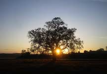
10 miles down the road, I was now on Shell Creek again, with those beautiful oaks and flower fields.
|
|
|


